

IoT Integration
Connect field sensors and operational signals to monitoring and awareness workflows.
Learn moreCombine geospatial context with operational information to strengthen tactical awareness, command-center visualization and decision support.
Talk to Our Team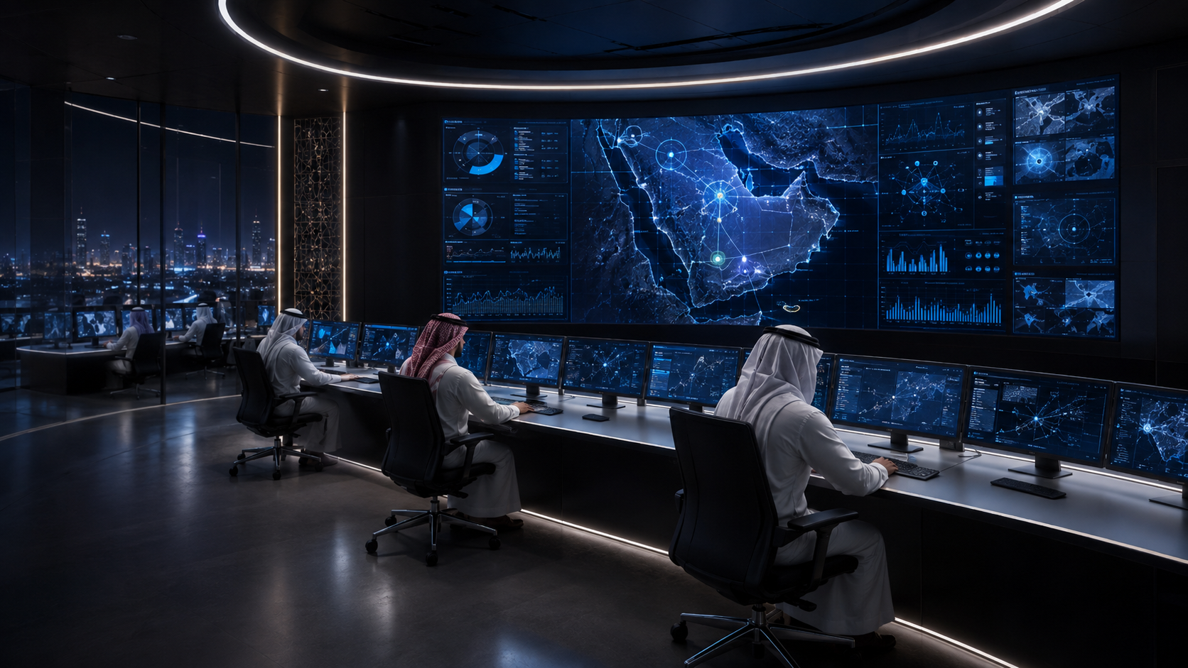
Visualize incidents, risks, facilities, resources and impact areas on interactive maps.
Map operational information so teams can understand where events, impacts, resources and critical assets intersect.
Connect field sensors and operational signals to monitoring and awareness workflows.
Learn moreMaintain visibility of strategic resources, inventory, logistics and availability.
Learn moreManage hazards, incidents, inspections, assessments and corrective actions.
Learn moreTalk to our team about integrated solutions for preparedness, response and resilience.
Organizations across the sectors we support.
 Riyadh Air
 Communications, Space & Technology Commission
 Ministry of Environment, Water and Agriculture
 High Commission for Industrial Security
 Ministry of Municipalities and Housing
 Saudi Electricity Regulatory Authority
 Ministry of Energy
 NEOM
NEOM Saudi Energy
 Ministry of Health
 Zakat, Tax and Customs Authority
